
Welcome to Framingham State University
Founded in 1839 as the nation's first Public Normal School dedicated to the preparation of teachers, Framingham State University has evolved over the past 185 years into a comprehensive university with standout academic programs across a wide range of disciplines, from the arts, humanities, education, business, social sciences, hard sciences, and more.

Inclusive Excellence
Framingham State has been honored with the Higher Education Excellence in Diversity (HEED) Award for our commitment to anti-racism, equity and inclusion.
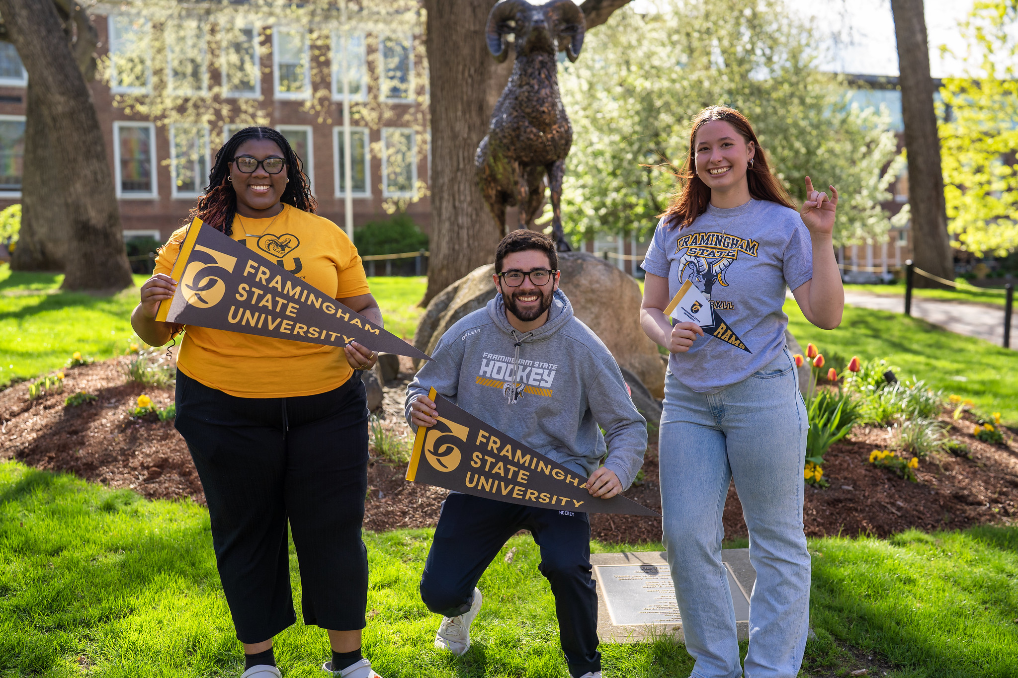
Our Campus is Our Canvas
Framingham State is set on 78 acres of a traditional New England campus. Our campus strikes a balance with its historic, picturesque buildings and modern facilities like our state-of-the-art science labs and residence halls.
We are currently undergoing a campus transformation, learn about our campus master plan.
